

Getting around Needles, California, can mean walking for short in-town trips, using Needles Area Transit or driving on the city’s main roads. The compact city sits beside the Colorado River near the California borders with Arizona and Nevada, making it a road link between the states as well as a destination in its own right.
- Interstate 40 runs east–west through Needles, and U.S. Highway 95 provides north–south access.
- Historic Route 66 runs through downtown.
- Needles Area Transit operates a deviated fixed route Monday through Saturday.
- Needles station is served by Amtrak’s Southwest Chief.
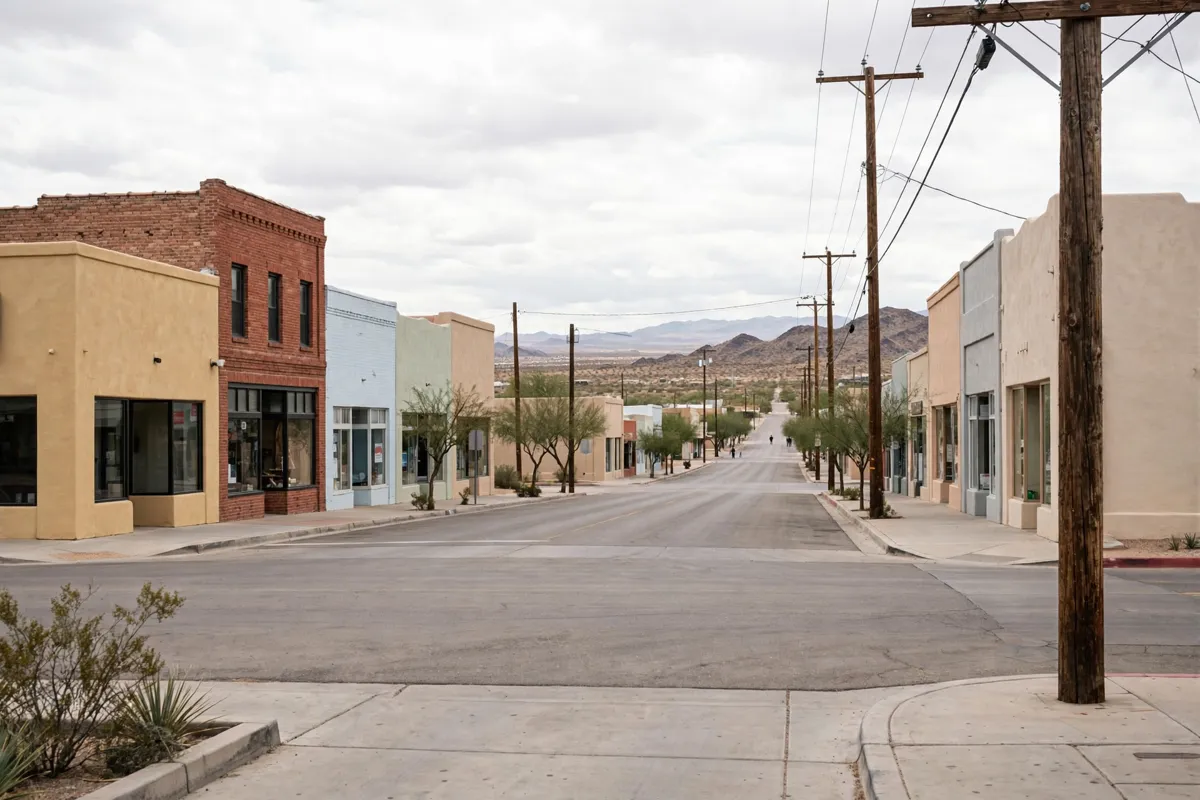
How Needles is laid out
Downtown Needles has a defined core, with Historic Route 66 running through it. The city’s planning document defines the Downtown Core as the area from the west side of H Street to the east side of D Street, and from the north side of Front Street, including El Garces, to the south side of 3rd Street.
The city describes Needles as compact and suited to walking and biking for short trips. It identifies Broadway, J Street and Bailey Avenue as streets where mobile-device data showed people walking. The Best Motel is about a 2-minute drive from the city centre or a 22-minute walk; Best Motel rooms near downtown are listed on the motel’s booking page.
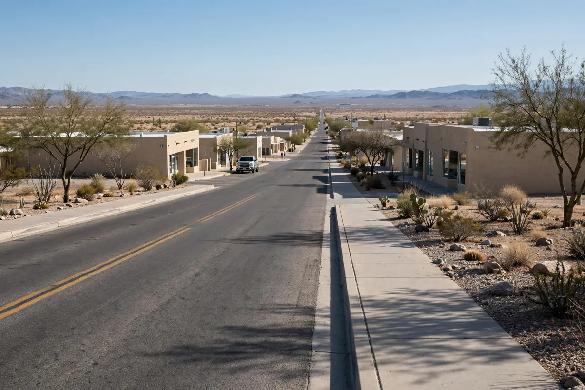
Getting around by car
Driving connects downtown with the highways and destinations beyond Needles. Interstate 40 crosses the city from east to west, while U.S. Highway 95 provides a north–south route. The city’s planning material describes Needles as a place where walking and biking suit short local trips, particularly in winter and during the morning and evening when the sun is less intense.
For a trip to Fort Mohave or Bullhead City, Needles Area Transit offers a shuttle on Tuesdays and Thursdays by prepaid reservation. The round-trip fare from Needles is $9 to Fort Mohave and $12 to Bullhead City.
Reservations and payment are due before 11:00 a.m. the prior day; payment is exact cash at the Needles Senior Center, and space is limited and allocated first come, first served.
The Needles Taxi Partnership offers trips between Needles and the High Desert for $25 one way or $50 round trip, Monday through Friday from 8:00 a.m. to 5:00 p.m. You must reserve 24 hours ahead at 760-903-6946.
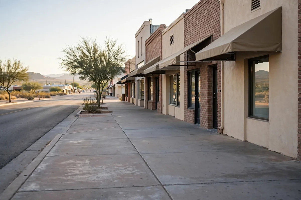
Walking and local transit in town
Walking works for short trips in Needles, while the local bus provides another way to get around. A one-day plan can help organize stops around town; this Needles itinerary offers one way to structure the visit. The Best Motel is about a 23-minute walk from Needles station or a 2-minute drive.
Needles Area Transit (NAT), a City of Needles project operated by Transportation Concepts, runs a deviated fixed route Monday through Saturday. The City of Needles gives its service hours as 7:00 a.m.–7:00 p.m. Monday through Friday and 10:00 a.m.–2:00 p.m. Saturday, with no Sunday service.
The one-way fare is $1.35 for regular riders boarding at a bus stop or $2.00 for a deviation pickup; exact fare is required. Seniors age 60 and older and people with disabilities pay $1.25 at a bus stop or $1.90 for a deviation pickup, with a City-issued photo ID required for fare eligibility.
Children age 5 and younger may ride free, up to two per fare-paying adult. K–12 and Palo Verde College students ride free with a student ID or current school schedule.
NAT Dial-A-Ride provides curb-to-curb service within Needles city limits for seniors age 60 and older and people with disabilities. An application is required to verify age or disability. The service operates Monday through Friday from 9:00 a.m. to 1:15 p.m.; reservations are taken at 760-326-4789 during those hours. The fare is $1.25 per boarding, exact fare required.
How do you arrive by train or plane?
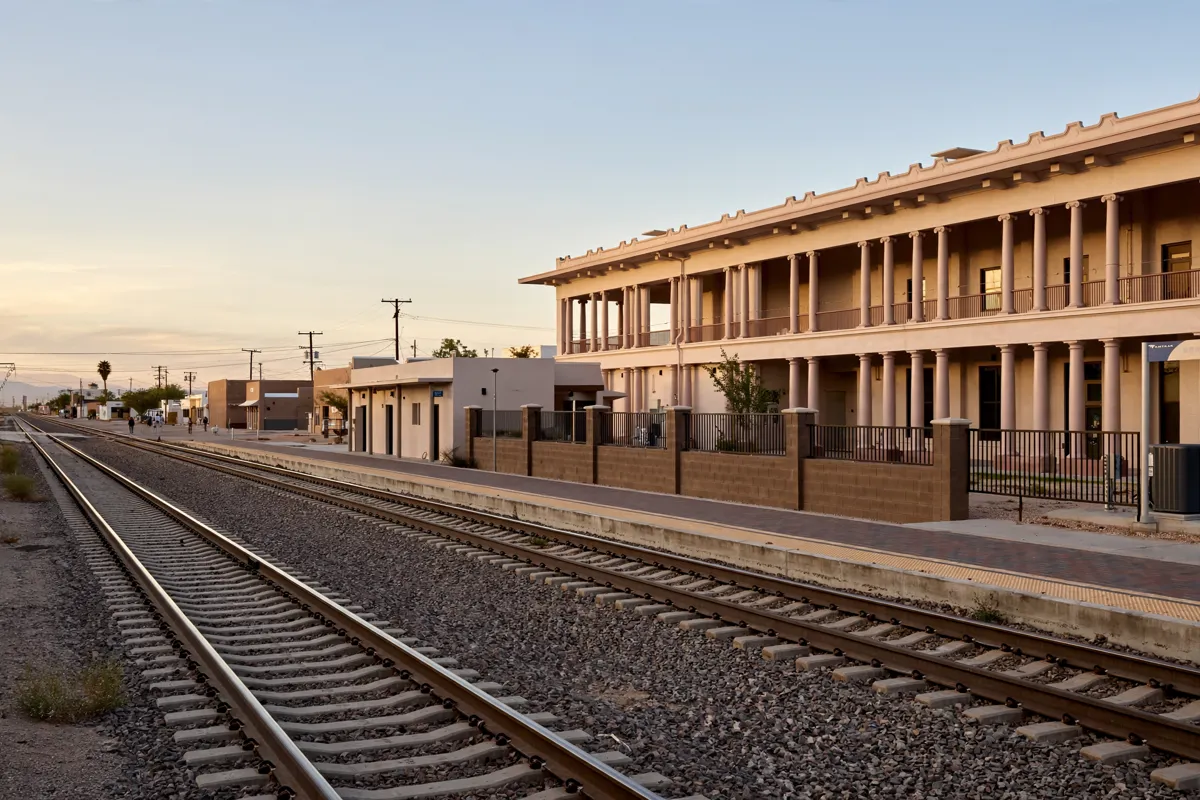
Needles station is at 950 Front Street and serves Amtrak’s Southwest Chief. The station is unstaffed and has no restrooms, ticketing kiosk, Wi-Fi, baggage storage or checked-baggage service. Amtrak advises passengers to arrive at least 30 minutes before departure. For the station location and arrival details, see how to get to and from Needles station.
Needles Airport is about a 12-minute drive from the motel. Lake Havasu City International Airport is about a 56-minute drive from Best Motel.
For flight-related planning, what to know about Needles Airport covers the local airport.
Before you go: Transit hours, fares and reservation requirements can change, so check the official site before you go. Check the City of Needles for NAT details and Amtrak for station information.
FAQs
Does Needles have local public transportation?
Yes. Needles Area Transit runs a deviated fixed route Monday through Saturday, and Dial-A-Ride serves eligible seniors and people with disabilities.
Can you walk around downtown Needles?
The city describes Needles as compact and suited to walking and biking for short in-town trips. Downtown includes Historic Route 66.
Does the Needles train station have baggage services?
No. The unstaffed station does not offer baggage storage or checked-baggage service.