

Route 66 in Needles, California, follows a historic corridor through the first California town on the highway, near the Colorado River and Arizona border. Its changing alignments link the railroad-era Front Street with Broadway, while the wider Needles-to-Barstow route connects a string of desert communities.
- Location: Needles, beside the Colorado River and near the Arizona border.
- Historic alignments: Front Street and Broadway.
- Town route: 10.8 continuous miles between the two most outlying I-40 off-ramps, with one brief interruption.
- Regional route: The National Scenic Byway runs from Needles to Barstow through several desert communities.
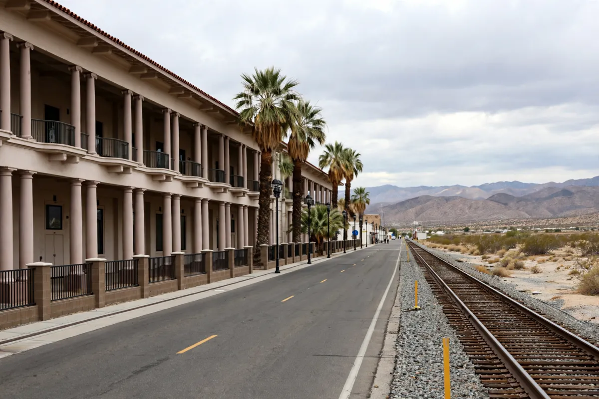
How Route 66 passes through Needles
Route 66 crosses Needles along both historic Front Street and Broadway, reflecting changes made as the highway developed.
Needles was founded in 1883 along the Colorado River. Its name refers to sharp mountain peaks on the Arizona side. When the National Old Trails Road became U.S. Highway 66 in 1926, the route followed Front Street, beside the Atchison, Topeka and Santa Fe tracks and past El Garces. By 1934, it had shifted one block south to Broadway.
The California Historic Route 66 Corridor Management Plan describes these as two alignments: the older Front Street route and the Broadway route. The City of Needles describes 10.8 continuous miles of historic Route 66 between the two most outlying I-40 off-ramps, with one brief interruption.
The highway’s California entry is at the Colorado River crossing south of Park Moabi Regional Park. From there, the historic road traverses Needles. Some sections were replaced by modern I-40; others remain, were demolished, or were redeveloped.
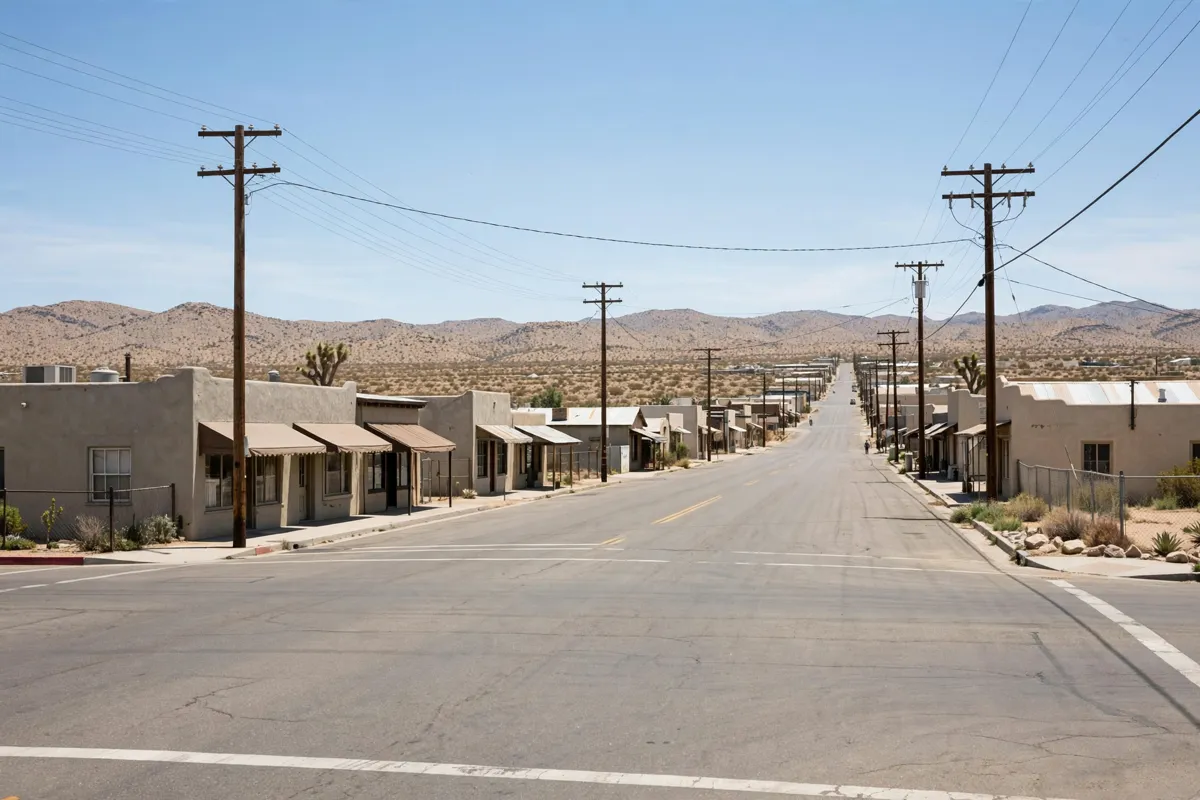
Historic-road details to look for
Front Street and Broadway hold the main historic landmarks associated with Route 66 in Needles.
The California Historic Route 66 Association identifies El Garces at 950 Front St. The Santa Fe Railroad built the depot, hotel, and restaurant in 1908. El Garces continues to serve as an Amtrak passenger station and is also used as a city event space. The Needles Regional Museum is at 929 Front St.
On Broadway, Carty’s Camp is at 200 E. Broadway, Old Trails Inn at 300 W. Broadway, and Needles Theatre at 827 W. Broadway. The Needles Borax Wagon is at Broadway and A Street. These landmarks give you a sense of how the route’s story extends beyond a single stretch of road.
Other points include a Route 66 billboard and the BLM Route 66 California Gateway. The 66 Motel at 91 Desnok St. is residential, so treat it as a historic reference rather than a visitor attraction.
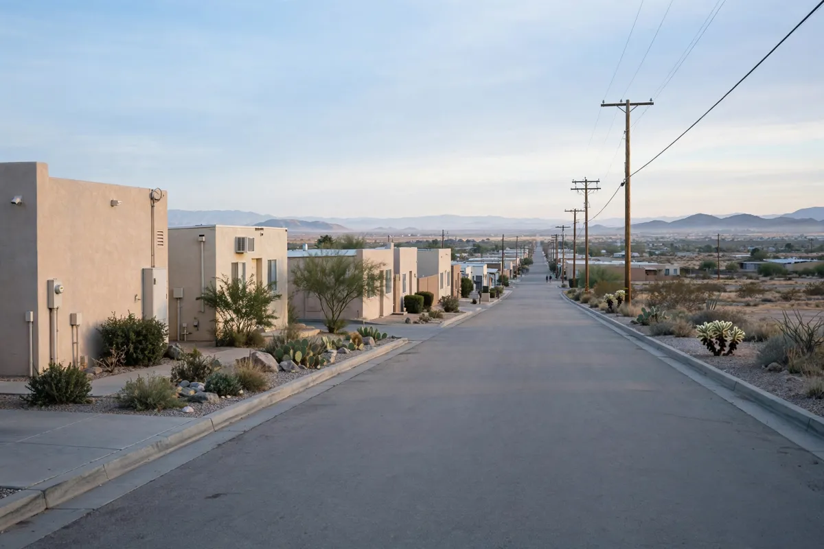
Planning a safe stop in town
Use the town’s named streets and public landmarks to orient your Route 66 stop, and check road conditions before traveling beyond Needles.
The historic corridor includes surviving road, redeveloped areas, and modern highway, so not every stretch remains unchanged. A guide to getting around Needles can help you plan movement between town stops.
For information about public-land access, check the official site before you go: the Bureau of Land Management (BLM) has its Needles Field Office at 1303 South U.S. Highway 95, Needles, California 92363, and its phone number is 760-326-7000. Route 66 at Piute Crossing is a paved county road with no fee for that site.
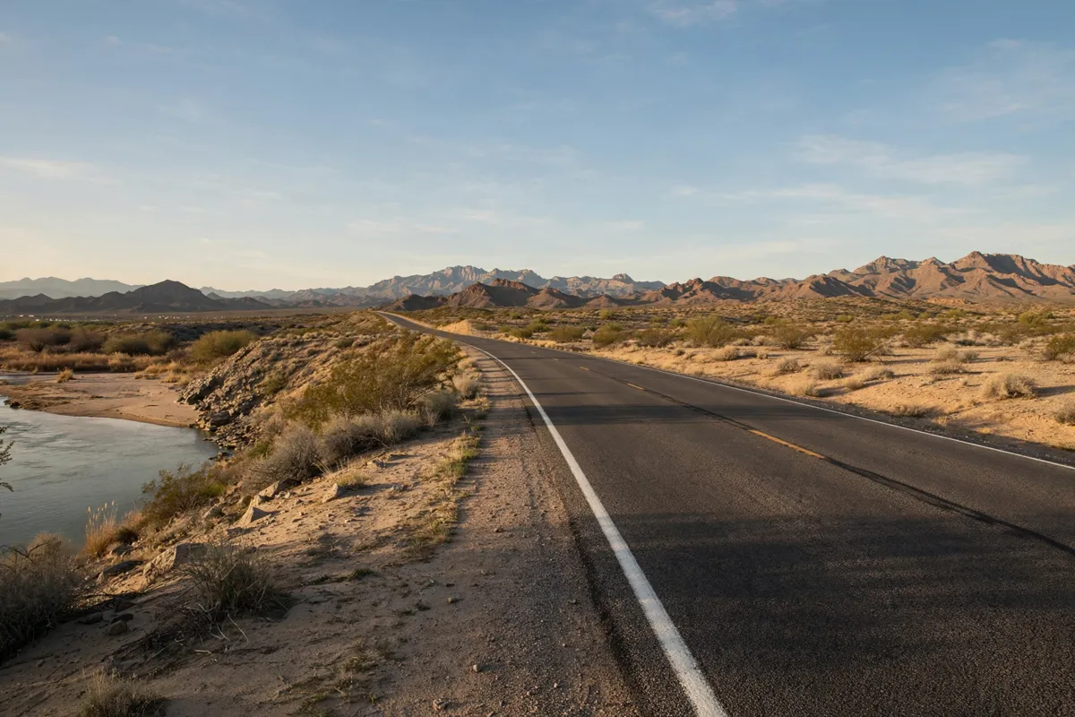
Connecting Needles with nearby Route 66 places
The Needles-to-Barstow National Scenic Byway extends the Route 66 story beyond town through a chain of desert communities.
The Federal Highway Administration designated the California Historic Route 66 section between Needles and Barstow a National Scenic Byway. Along the way, it passes through Goffs, Amboy, Ludlow, Newberry Springs, and Daggett before ending in Barstow. Needles is the eastern starting point of this named sequence, making the town a natural place to begin tracing the California corridor.
Best Motel is in Needles, a town on the historic Route 66 corridor. If you are planning a fuller visit around town, a one-day Needles itinerary can help you shape the local stops into a day.
FAQs
Was Needles the first California town on Route 66?
Yes. Needles is the first California town on Route 66, near the Colorado River crossing and the Arizona border.
Did Route 66 through Needles follow Front Street or Broadway?
Both. The original 1926 alignment followed Front Street; by 1934, the route had shifted one block south to Broadway.
What is the Needles-to-Barstow National Scenic Byway?
It is the California Historic Route 66 section between Needles and Barstow. The route passes through Goffs, Amboy, Ludlow, Newberry Springs, and Daggett.
Can you take a day trip to Oatman from Needles?
Yes. Oatman, Arizona, as a day trip from Needles is another way to extend a stay in the area.